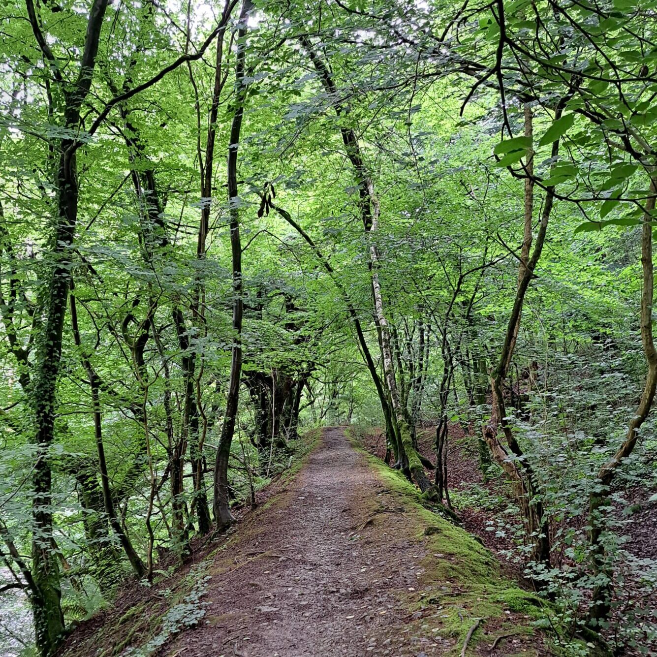
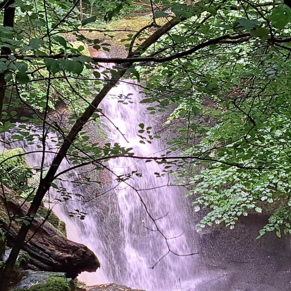
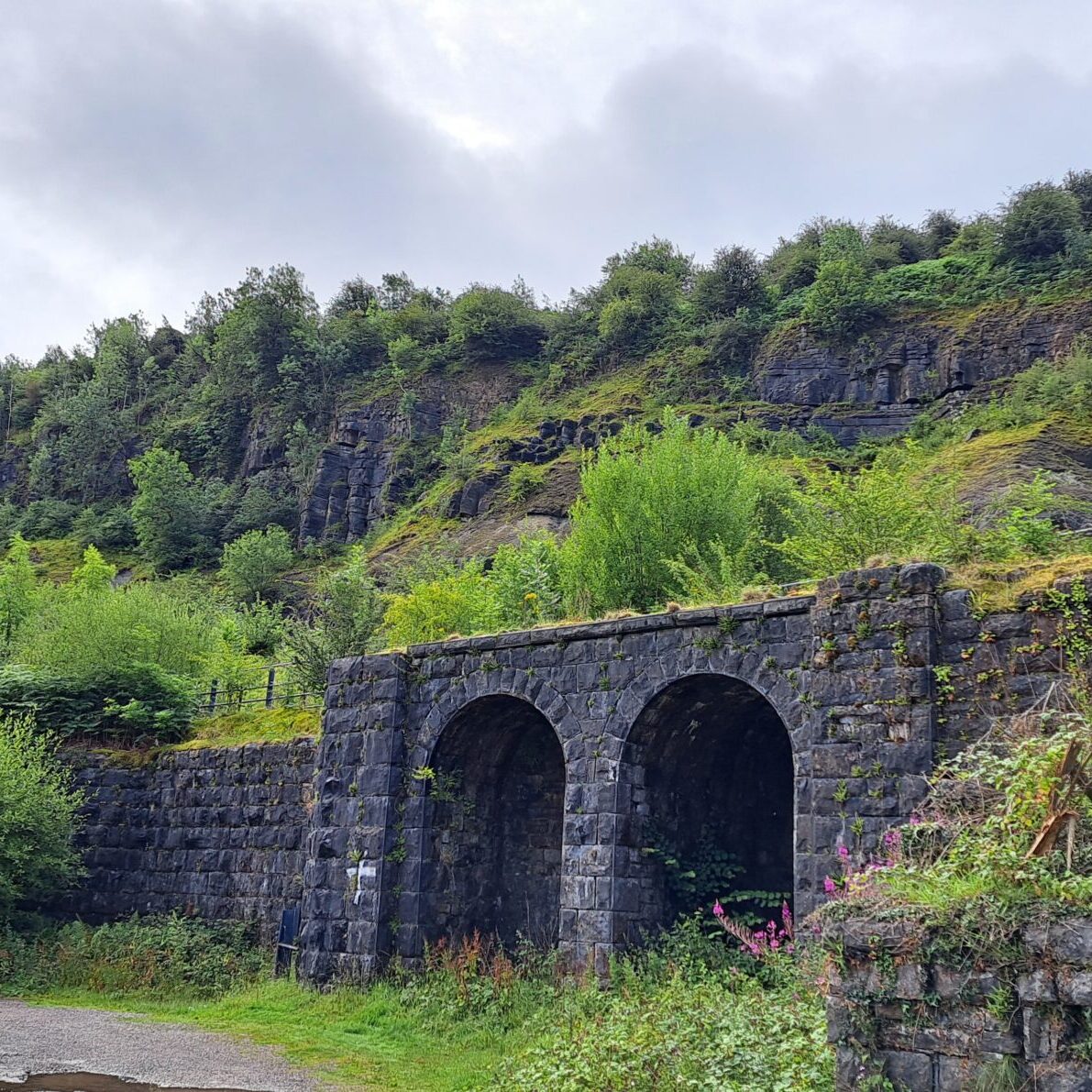
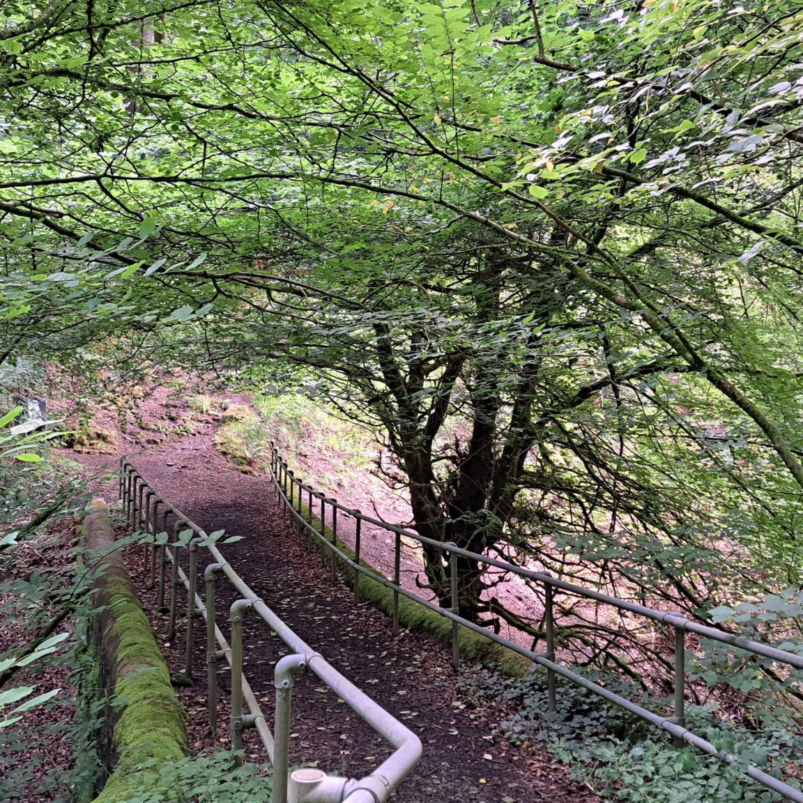
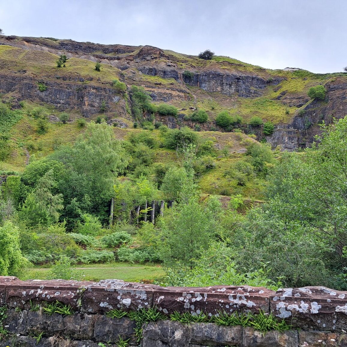
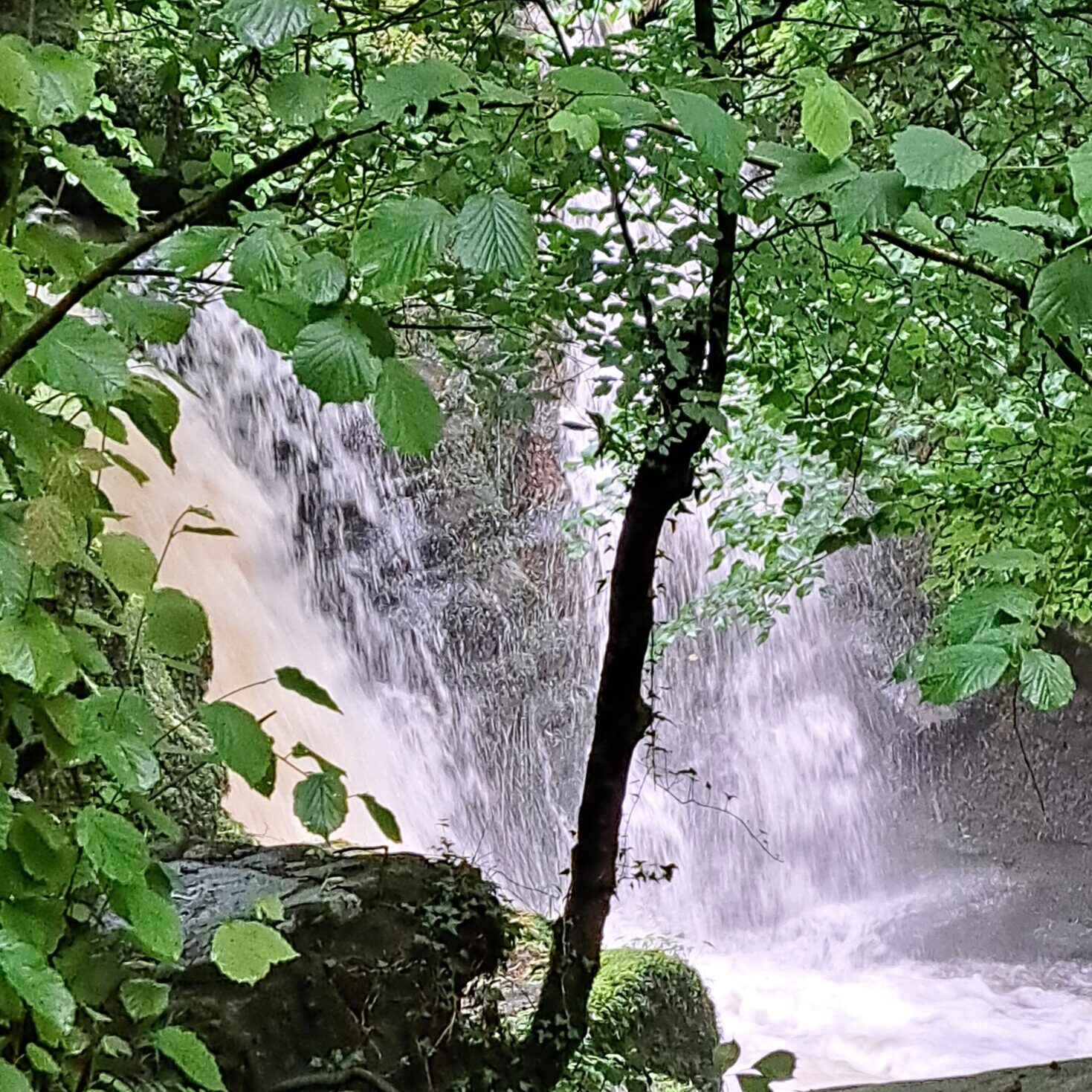
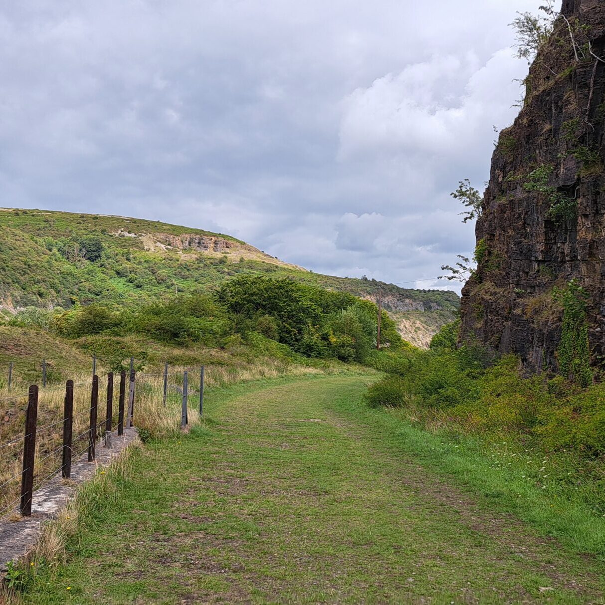
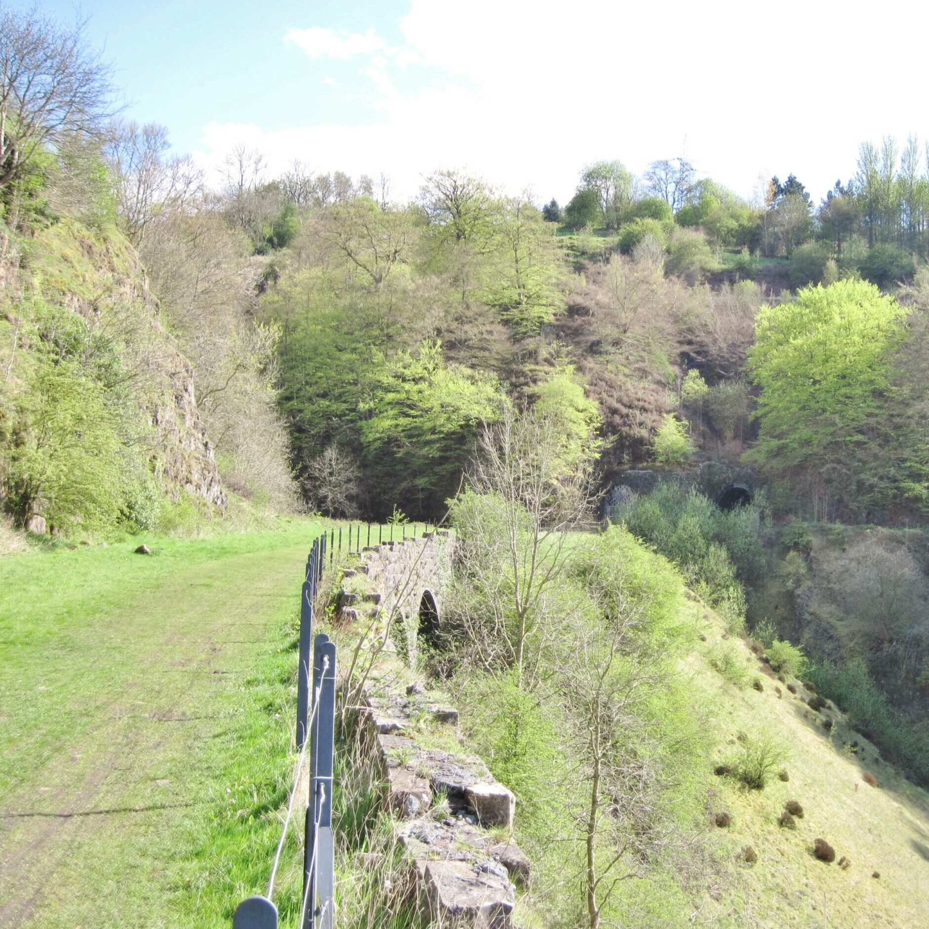
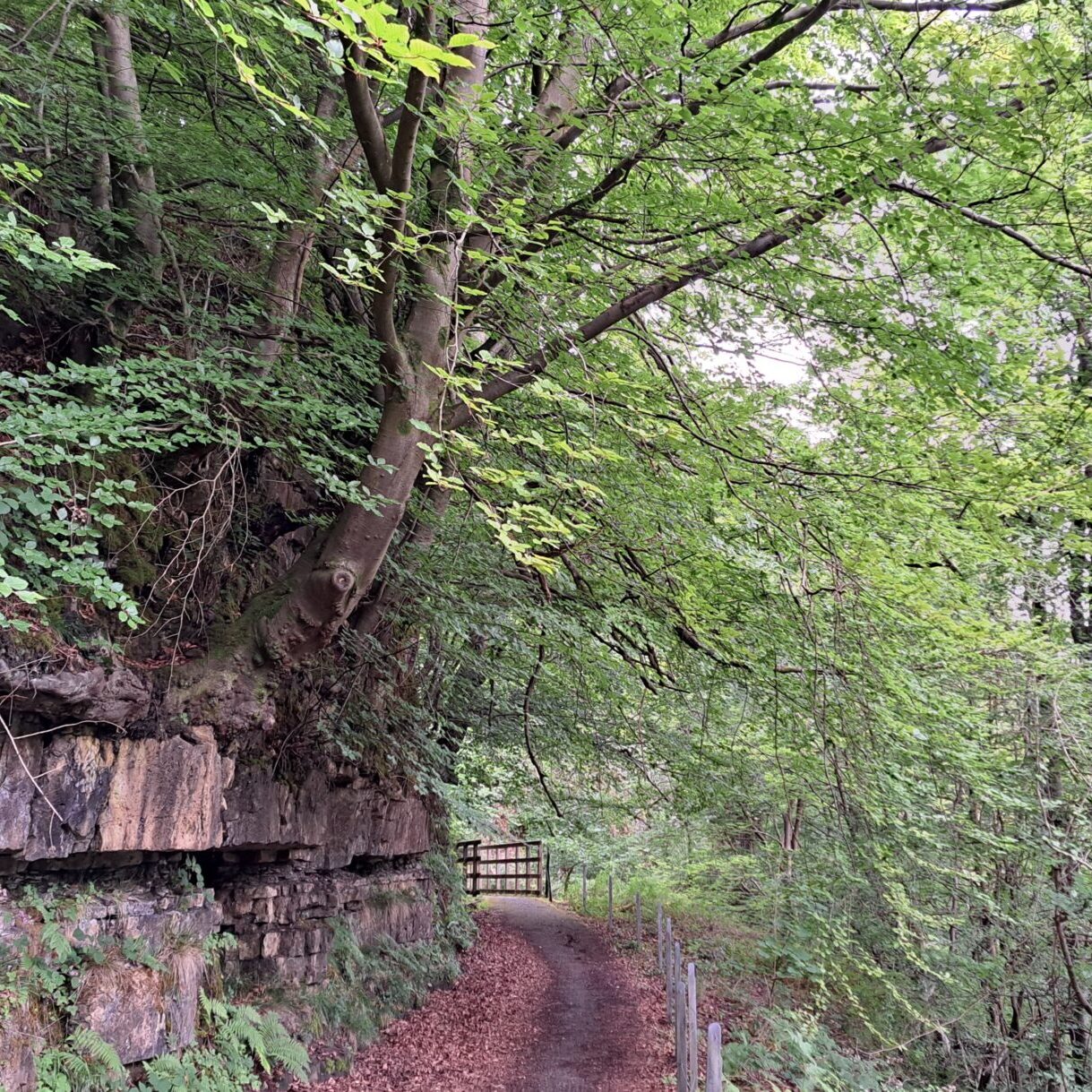
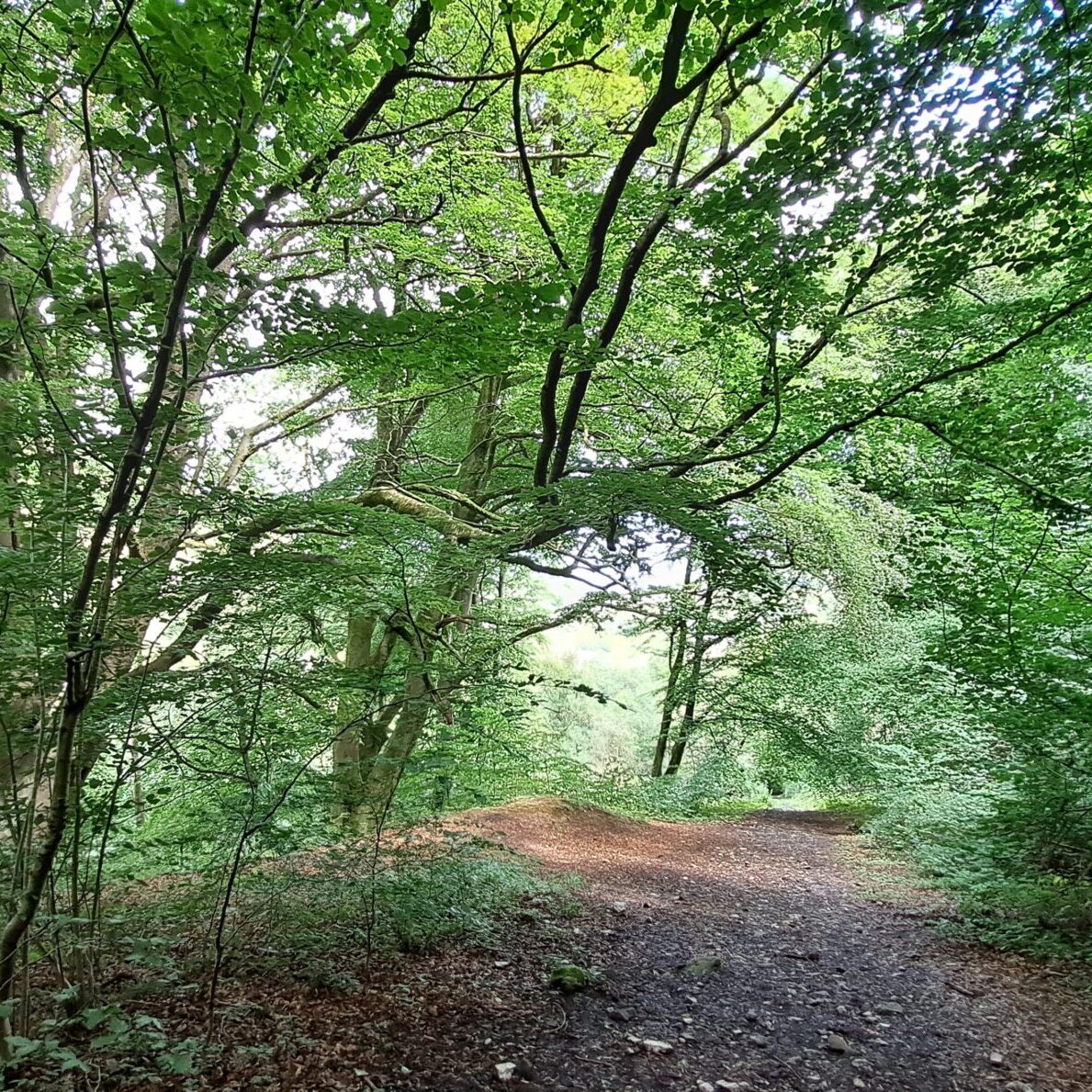
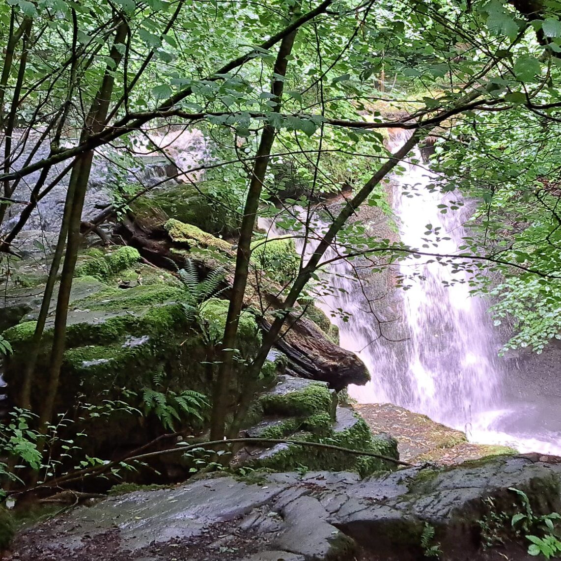
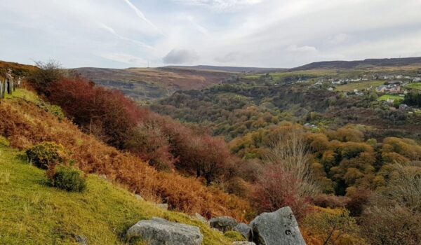
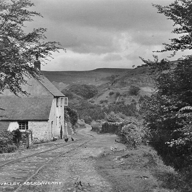
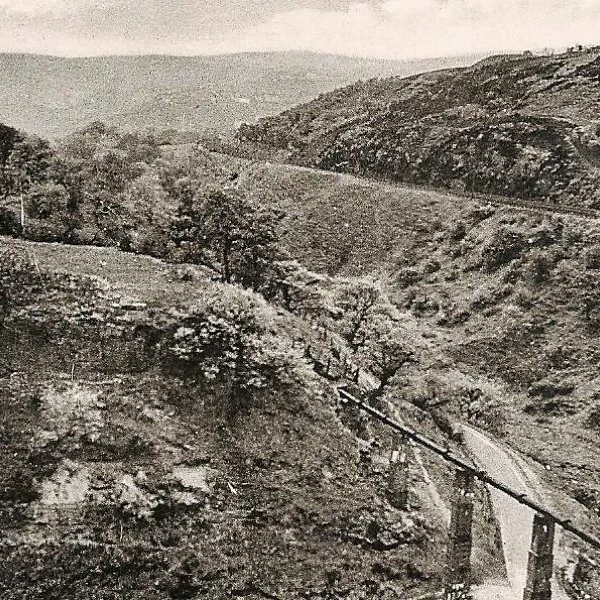
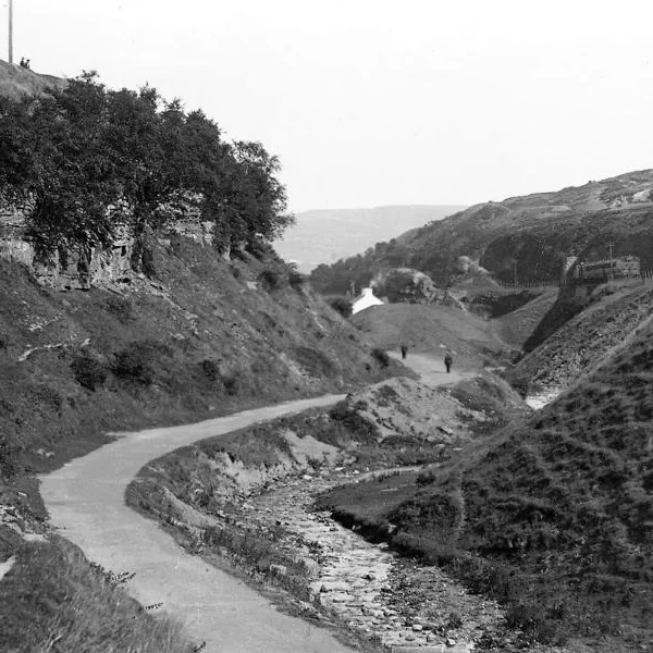
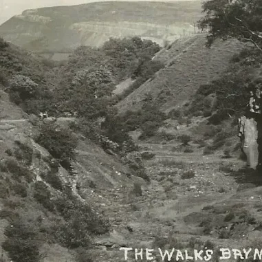
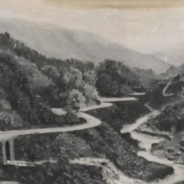
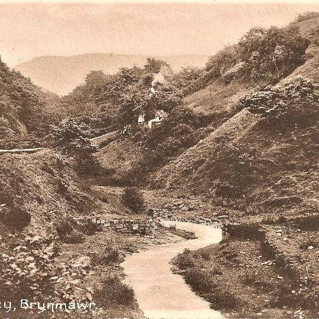
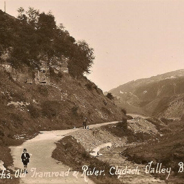
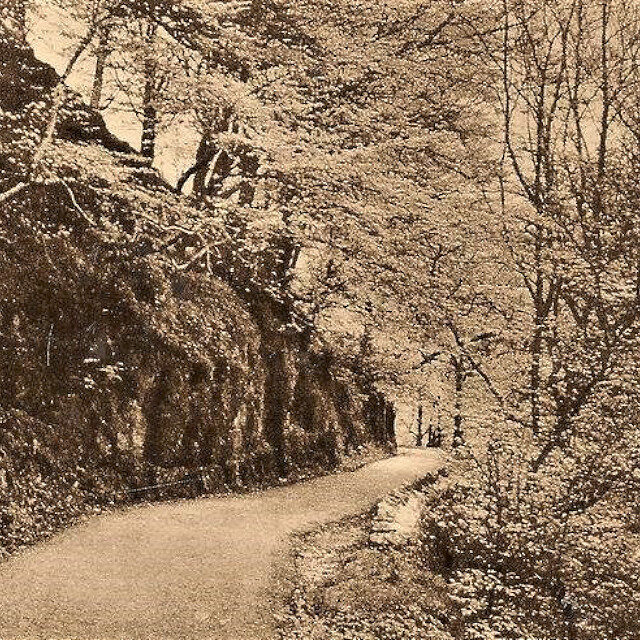
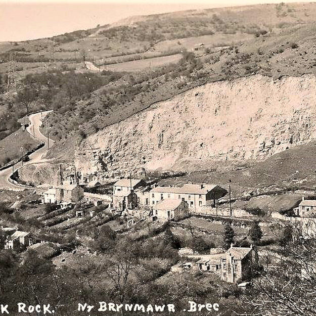
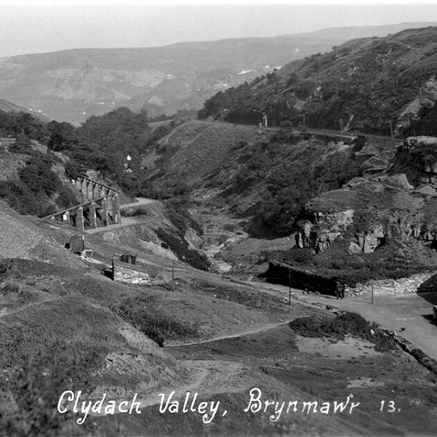
Situated within the Brecon Beacons National Park Clydach Gorge (Cwm Clydach) originally fell within the area of Blaenau Gwent but now, due to boundary changes falls just outside. The gorge is deep with very steep sides and was formed by the fast-flowing scouring action of the river Clydach cutting through the limestone rock. The area contains waterfalls, ponds, woodland and wildlife with an interesting mix of natural and historic features. The scenery is varied, from the shady, enclosed wooded area along the river, to the open slopes above, with far-reaching views.
An Introduction to Clydach Gorge and its Waterfalls
Overview of Clydach Gorge
This area is a beautiful area, rich in industrial archaeology, tramroads, pathways and ancient beech woodlands.
Running for about three miles from Brynmawr down to Gilwern, this beautiful gorge forms a natural passage-way between the lush farmlands of the Usk Valley and the upland landscapes of Northern Gwent and Breconshire.
Specific parts of the gorge are designated as sites of special scientific interest and others are protected. The entire Clydach Gorge falls within the Brecon Beacons National Park.
Walking and Cycling Trails through Clydach Gorge
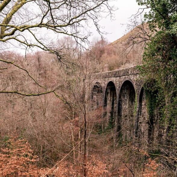
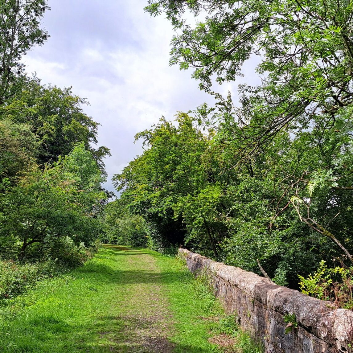
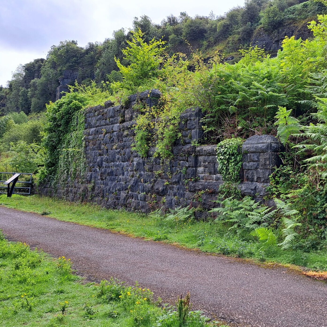
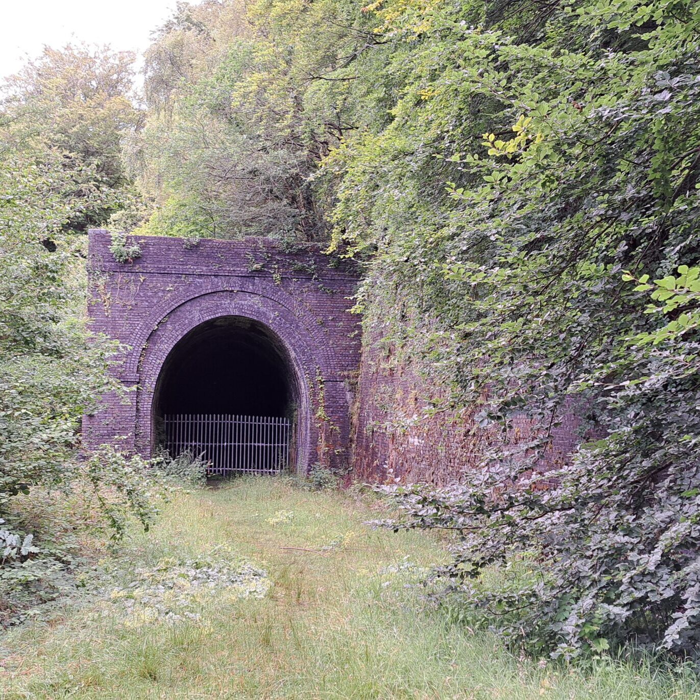
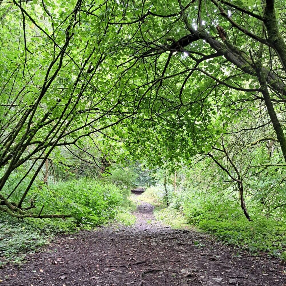
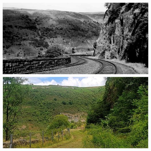
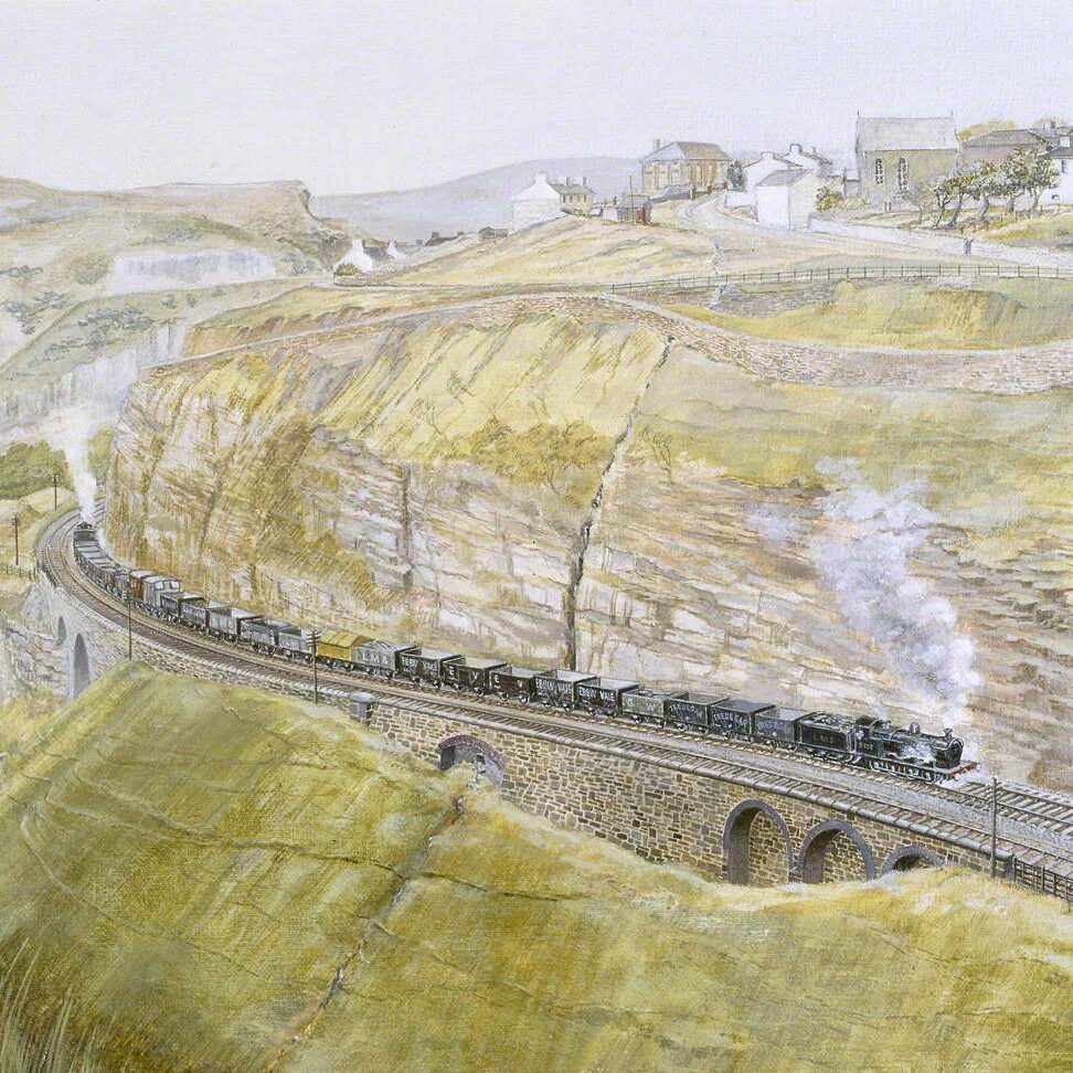
This picturesque, traffic-free walking and cycle trail, much of it along the old tramway s and railway line, runs high above the Clydach Gorge to Brynmawr taking in some breath-taking views along the way. Many remains and reminders of the mining, quarrying and railways of Clydach Gorge’s industrial past are also visible.
Clydach Ironworks
Early Ironmaking
The first recorded iron-making venture in the valley was a charcoal furnace and forge at Llanelly on the north bank of the river Clydach. This was founded in the C17th by the Hanburys of Pontypool.
Clydach Ironworks
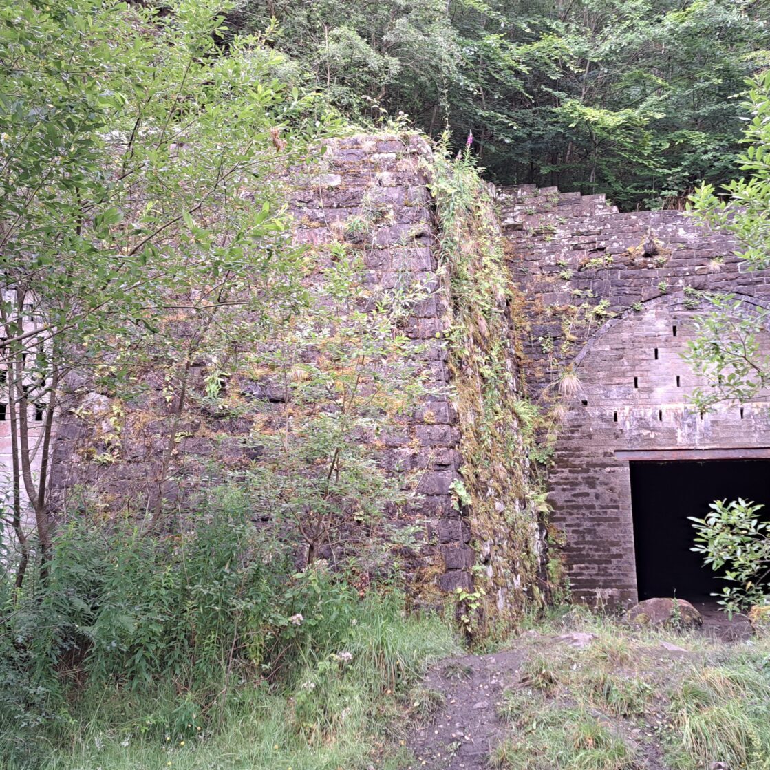
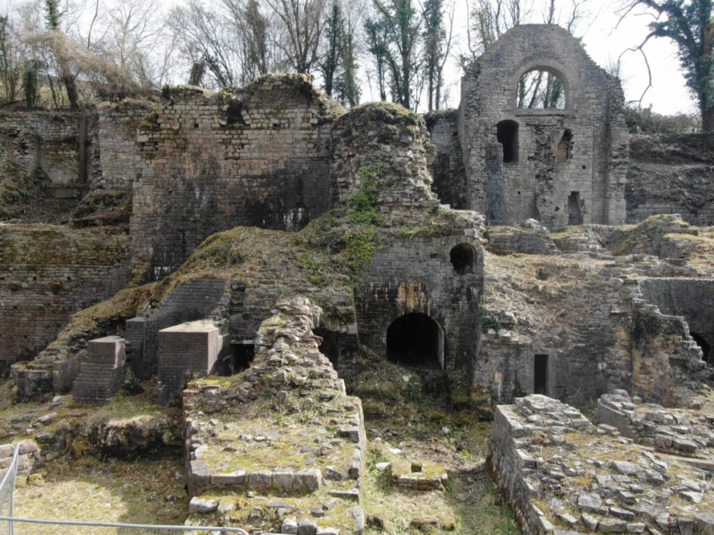
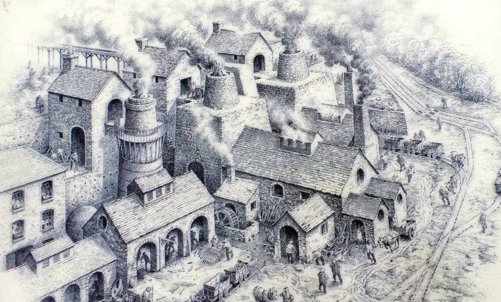
Clydach Ironworks was the most significant ironworks developed in the gorge. The Ironworks were constructed around 1793–95 after coke had been introduced as a fuel for blast furnaces. This important ironworks was one of the first to use coke rather than charcoal for smelting and this helped to preserve the ancient beech woodland.
Production
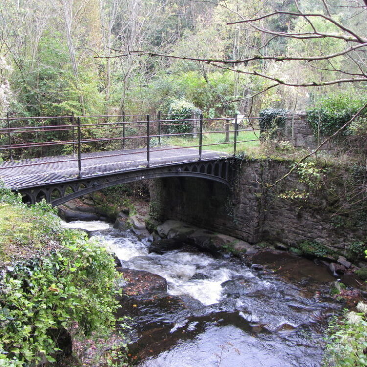
By 1841 the ironworks was having a great influence on the industrial and social developments of the surrounding area. Production continued until around 1860. The works could be approached over a cast iron bridge called Smart’s Bridge which was built in 1824.
Closure
Just before its mid-19th Century decline and final closure, over 1,300 people, including 133 children, were employed here, either at the furnaces or in producing coal, limestone and ironstone from workings higher up the valley. Financial problems and the inability to compete with the more-efficient larger works operating between Hirwaun and Blaenafon ended iron-making here.
Sir Bartle Frere
During its early period the works were operated by the Frere family, whose Clydach House was built in 1815 and stood nearby. This was the birthplace of Sir Bartle Frere who, as High Commissioner of South Africa, was inadvertently instrumental in starting the Zulu Wars.
Excavation 1986
The remains of two large masonry furnaces from the 1790s and the base of a later furnace can still be seen together with other structures thanks to an excavation carried out in 1986.
Eifion Lloyd Davies © 2015 (updated 2025)
Constructed in 1824, to provide access to Clydach Ironworks, this bridge is a single span and made of cast iron. It is built on rubble piers with lancet tracery in the arch spandrels.
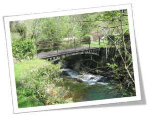
Smart’s Bridge
Cwm Clydach National Nature Reserve
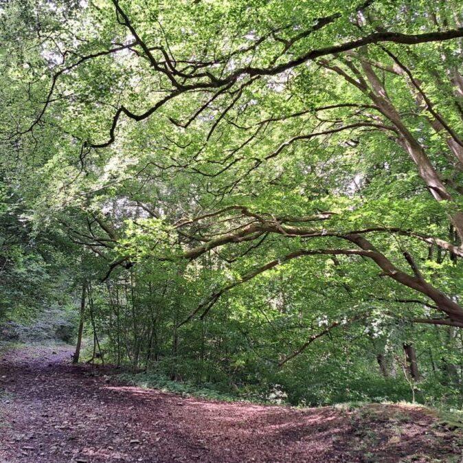
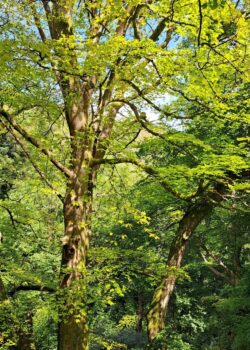
Clinging onto the steep-sided slopes on the south side of the gorge is a magnificent and ancient beech woodland. It is one of the most westerly, and best examples of, a native beech woodland in the UK. Some of the beech trees are 400 years old.
Survival
These trees have somehow managed to survive the area’s industrial past where they were a source of pit props and charcoal, fuelling the local iron and lime works. The woodland is constantly regenerating with the trees flourishing in the shallow, stony soil despite the extremely steep slopes.
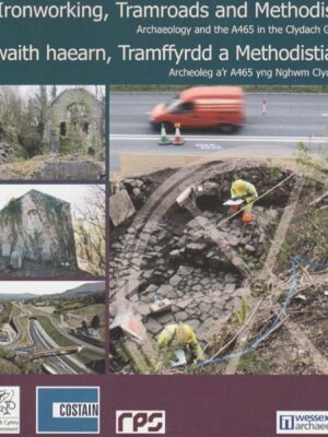
Ironworking, Tramroads and Methodists
This booklet on the archaeology of the Clydach Gorge has been reproduced and displayed here with the kind permission of Jeff Mapps of Costain.
Reminiscences of Clydach Ironworks
Fairly recently, in an early twentieth century edition of the Abergavenny Chronicle Eifion Lloyd Davies came across two articles entitled: ‘Reminiscences of the Old Clydach Iron Works’ and ‘Neighbourhood’ written by Thomas Jordan, of Govilon. These articles are essentially oral history rendered in print.
They are notable to the contemporary reader by their description of: – the locality and the ironworks; of the different social groups – the iron workers and miners. They both allude to the Scotch Cattle, how people built their own homes, and to the amount of support they gave to each other.
Eifion has produced an abridged and lightly edited versions of the two 1910 articles by Thomas Jordan.
Cwm Pwca

Legend has it that Cwm Pwca, (Pucks Valley) which translates as ‘Valley of the Goblin’ has a specific type of goblin called ‘Pwca’ living in it.
This mythological creature was thought to be menacing and brought bad luck to those who saw him. Cwm Pwca in the Clydach Gorge was so named because this is one of the areas that he was reputed to live.
Shakespeare
It has been said that Shakespeare once visited the gorge and whilst he was there, was inspired to write ‘A Midsummer Night’s Dream’.


